Food, Fitness, Photography

Food, Fitness, Photography

Wednesday, July 15, 2015

An Epic Adventure in which nothing went according to plan

...and the gps on my phone really, really, wanted me to total my car.  And possibly die.

I really, really, wish I had taken a break from freaking out just long enough to take photos of the insane road my gps tried to take me up.  But I was too busy trying to back down it without falling into a ditch or rolling over.  Even once I had made it safely to the bottom and managed to get myself turned around, there was no going back to take photos, I wanted to get out of there as fast as possible.  It didn't even occur to me until later that I should have taken photos.

Back to the beginning.  The photo-destinations I visited today have been on my list for awhile, but I was waiting for someone to go with me, as it was a lot of driving, and such trips are always more fun with a friend.  However, I am in my third week of no work (kids come back next week, then it will be back to babysitting for me!), and I only need so many days of sitting around the house before I really want something to do.  Something fun, to be specific.  There's always work I could do, but that wouldn't be the most enjoyable way to spend my free time.  Looking at my calendar for the week, and the weather, I decided that I would spend today adventuring.  The weather forecast said cloudy, but 0% chance of rain until mid afternoon, and the radar was clear.  (Tomorrow looked way better, but I have various appointments for my horse tomorrow because I am moving her to a new barn.  I'm sure there will be a post about that later.)

I was on the road at 8:50 AM.  It started raining at approximately 8:55.  I already had my bike on the car, all my bike and camera gear in the car, and I was on my way.  So I decided to take my chances and hope the rain wouldn't last.  The first 30 minutes or so were calm, then, on a narrow back road, I came upon stopped cars, and a police car parked diagonally across the road in front of them.  Turns out a car had gone over the cliff, they were in the process of a rescue, and we would have to turn around.  Detour 5ish miles back to Rt 60 to take it instead of the back road.  Still raining on and off.  More on than off.  Various slow-downs for construction.

The original plan was to go to Fayetteville, ride a 20 mile loop on my bike, take photos of the New River Gorge, then drive to Cathedral Falls and photograph that before returning home.  As I neared Rt 19 and the New River Gorge, it was still raining, and a bike ride was not very appealing.  I decided to change things around and go to Cathedral Falls first.  It was further than I thought it was, and I was starting to wonder if I had somehow missed it.  It was supposed to be right next to 60, and easy to find, but I was second-guessing.  So, while stopped for construction, I put it into my phone's GPS, which told me I hadn't passed it yet, but it was only 3 miles away.  (Hooray!)  The GPS took me another 2-3 miles, then told me to turn right onto Taylor Hill Rd.  All I could see to the right was a parking lot.  I took the following right, onto what actually looked like a road, but the GPS was adamant that I needed to turn around.  So I did.  And pulled into the parking lot that it was telling me was a road.  There appeared to be a very narrow road, that was a short/steep incline over some railroad tracks, then a hard right up a mountain.  My car scraped bottom getting over the tracks, but I made it, and barely made the turn up the mountain.  The road was barely wide enough for my car, and I was very skeptical as to how this was the "easy to find falls right off of Rt 60." After about 10 seconds, I came to a sign that said "Jeep road only, all other vehicles will be winched."  Now I was entering freak-out mode.  There was absolutely no possible way to turn around.  My preferred method of backing up is to look out the back window.  It was rather clouded up by rain.  I rolled down my windows and used a combination of the side mirrors and the back window to back myself down the road and back across the tracks, the whole time positive I was going land in a ditch or my brakes were going to fail and send me flying down the incline.  Somehow, I survived, and as far as I know my car is still in one piece.

I gave up on the idea of Cathedral Falls and decided to just head to Fayetteville.  A quarter mile down the road, I saw the falls on my left as I flew by them.  The sign said something about the Gauley River, nothing about the fact that there was a giant waterfall right there!  I found a spot to turn around, and this time made it to the falls.  It was still raining, so I had to juggle an umbrella with my camera, and pass on playing with the tripod, but I got a few photos.


Done at Cathedral Falls, I got back in my car and headed to Fayetteville.  I hadn't originally planned to stop at Hawk's Nest State Park on this trip, but I was really hungry and decided I may as well stop there on the way by, take some photos, and eat some lunch.  If it had turned out to be a long hike to the overlook I probably would have skipped it, but it turned out to be pretty short.  


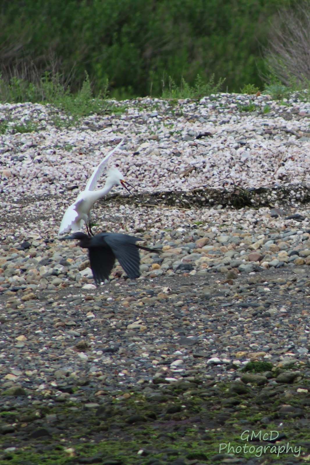
The New River is a raging muddy mess after all the rain we've been getting!

Fed and mostly recovered from the terrifying-ness of my Cathedral Falls search, I got back on the road and headed to the Canyon Rim Visitor's Center.  It wasn't really raining anymore when I got there, so I decided to take my chances with a bike ride.  I had mapped out a route that would take me down into the gorge, across the river, and then climb back out the other side of the gorge, eventually ending up on Rt 19 which I could take over the New River Bridge and back to my car.  I had exported the route onto my garmin, so I pulled it up, expecting to be able to follow it.  It showed up as a thick purple line on a white screen, with no way to actually see the roads and no where I was going.  So I scrapped that plan.  I pulled up the route on my phone, and after a few wrong turns while trying to accustom myself to how it worked, I figured out how to follow it and set out on my way.  The course was outlined in red, and an arrow was following along the course as I moved along it.  Great.  Until suddenly the red line stopped.  I scrolled out on the map and discovered that I was not in fact on my planned course, but that somehow an extra line had been added, which I had been following.  The road was narrow and a mess of rocks and branches from recent storms.  There was no way I was backtracking.  It took me back out to Rt 19.  I scrapped my original plan, and decided to just wander.  So I took 19 across the bridge and wandered around Fayetteville for a bit.  15 miles in it started to rain again, and I wasn't too far from the bridge/Visitor's Center so I tended my ride.  

Once I had my bike stowed back on my car and my gear put away, I got my camera bag and umbrella and headed to the overlook.  


Done with taking photos, I put on dry clothes and headed home.  The sun came out sometime in the 1:30 drive.  And stayed out for the rest of the afternoon.  My luck.  It was supposed to be clear all morning and storm in the afternoon.  I got the opposite.  At least there weren't any thunderstorms while I was out and about!

As of right now, I am very grateful to have made it home in one piece, with nothing worse than some frayed nerves.  I will definitely be going back to these places on a day with better weather, to get some photos that are a little sharper, without the misty quality the rain lent to many of these.  And I'm glad that I now know exactly where Cathedral Falls is and I will not be trying to go up any more sketchy-looking roads.  Although I may have to park at the bottom of that one road and take photos of it next time I am in the area...

Sunday, July 12, 2015

Back to the Mountains

Last week : 209.6 bike miles with 11,010 feet of climbing
This week : 101..9 bike miles with  10,164 feet of climbing
Saturday's ride alone had 4780 ft of climbing...
Yep, I'm back in the mountains.

This week 
T : bike 16.5
W : run 5.3
R : bike 33.6
F : run 5.3
Sa : bike 51.8
bike total : 101.9
run total : 10.6

It's been a good week of exercise.  It is ever so tempting to do a short ride or a jog today, but I've been asking a lot of my legs this week and I think they probably deserve a break.  They are a bit sore from getting back into running, and climbing mountains on a bike after 2 weeks away isn't so easy on them either!  My foot seems to be taking the running ok, I've been good about icing it afterwards, and sometimes it hurts later, but it hasn't been too bad, and it fees fine during the runs.  Happily, I have also been able to breathe a little easier during running, which seems to confirm my suspicions that the asthma trouble was primarily allergy related.  

Both long rides this week included some new climbs.  Thursday's new climb was one I've only ever gone down before...it was tough crawling back up it but what doesn't kill me make me stronger!  The views on both rides were absolutely gorgeous, I lucked out with weather both times.  I had to stop and take pictures during Thursday's ride.  Saturday I opted not to stop, although I could have gotten some pretty awesome pictures then too.

Thursday
(clock-wise)


Saturday
(counter clock-wise)


Photos from Thursday


Sunday, July 5, 2015

Photos from Narragansett Bay 6/29/15 - 7/3/15


this one is from Waites Wharf in Newport


this one is unfocused chaos, but I find it appealing for some reason


I was lying on a rock basking in the sunshine when I heard footsteps.
Looked up and found a pair of squirrels out for a walk.


These two birds were entertaining.  
The white one kept puffing up its feathers and chasing the dark one.


A record-smashing 200+mile week

This week:
M : 36.1
T : 30.1 
(group ride, intervals)
W : 50
F : 37
Sa : 27.6 + 3.1 jog
(group women's ride)
Su : 28.6
total bike miles : 209.6 
elevation gain 11,010 ft
total run miles : 3.1

In WV, a 100 mile week generally gets me 9-10,000 ft of elevation gain.  RI is clearly much flatter.  Also much closer to sea level.  The elevation profile of my rides here actually starts at 0 feet.  At home in WV, it starts at 1600 ft. Most of the more significant climbs here are in places where roads lead straight down into the water, so the only real way to practice climbing is to do out & backs on those roads.  I prefer loops, so I didn't do too much climbing this week.  Still, there are a few decent hills spread around the island that I ended up riding a few times.  

I am really impressed by my high mileage this week, and the fact that I was able to take only one day off and still keep going strong.  Riding is just so much easier here without the mountains to slow me down and tire me out.  Don't get me wrong, I love the mountains...but it was nice to be able to enjoy some longer rides this week!  I also enjoyed being able to ride faster.  It is hard for me to keep up with all the sprinters on group rides here, but they are fast because the terrain allows them to be.  If I was in town longer, I could get my sprinting legs and be much closer behind the locals.  As it is, my mountain climbing legs need more than a week to learn how to sprint.  I head back to the mountains sometime this week, and I'm sure I will miss the speed I enjoyed here, but I'm sure I will soon forget about it as I work to improve my climbing muscles.  

Tuesday was interval night for the Ten Speed Spokes group.  I think there is supposed to be an A and B group, but I don't know many people, and the ones I recognized were in what I am assuming was the A group.  I'm not actually sure if there was a B group or not.  They say to ride in the opposite direction of the group until you see them coming, and then turn around and jump on the pace line.  I attempted this, but sadly when I saw them coming, they had already started picking up speed, and by the time I got myself turned around they were already well ahead of me.  I rode as hard as I could, trying to catch up, but the gap was getting wider and wider.  And then my asthma kicked in and I couldn't breathe, so I gave up.  I turned around again, rode for awhile, and then turned again, thinking I had timed it right that they would come up behind me before I got too far, and this time I would be able to jump on.  I misjudged, and ended up having to wander for a good bit before they finally came up behind me.  This time I was able to jump on.  They were slowly picking up the pace.  I held on for awhile, but they kept getting faster and faster and once they got much above 26 mph, my poor legs just couldn't keep up, even riding the draft.  One rider ended up waiting for me, and we took a short cut to rejoin the group during the recovery phase.  I stuck with them through the rest of the recovery, and then once again tried to stick to the pace line through the sprint, but once again found the sprint to be faster than I could maintain, and I fell off again.  By that point, I had ridden about 30 miles, and I knew I was just going to fall off sooner each time, so I called it quits.  

Wednesday I decided it was time for my first 50 miler of the year, so I rode the whole way around Aquidneck Island.  The wind was pretty strong, SSW at 20+ miles an hour, so parts of my ride were rather slow, but it was a good ride.  I also ended up going over a flooded road.  That was a bit scary; the water was sandy, so I couldn't actually see the road, and was deathly afraid that my bike was going to land in a pot hole and pop a tire or dump me.  Luckily I made it through with nothing worse than completely soaked shoes/feet. 

I missed TSS's Thursday hill circuit ride because I was in need of a day off, but I went out on Friday and rode their hill circuit once around just to see what it was like.  It was a pretty good figure eight, with the middle of the eight being one of the tougher longer hills around.  Next time I come up in the summer I will definitely have to show up for the Thursday ride.  

Saturday's women's ride was much like last week's; a few women and a bunch of men as well who joined for various parts of the ride.  We rode a few decent hills, which I powered up pretty well, and was disappointed to learn later that I had ridden them a mere 1 second slower than the record holders.  Surely I could have smashed the records if I had tried just a bit harder...oh well.  

I wasn't expecting much from today's ride, other than to get myself to 200 miles for the week.  My quads were burning from yesterday's jog, so I really wasn't expecting to ride fast.  But once I got into Tiverton, I found speed to be tempting.  There were numerous other cyclists out there, and they gave me something to chase.  Once I started pushing the pace, I figured I may as well keep it up.  I kept my eye on my cadence, trying to keep it hovering around that magic 90 rpms.  I pushed even harder on the slight inclines, and ended up earning myself a few QOMs on Strava.  Not bad for what may be my last ride on this visit.  I expect to take a day or two off from biking, but of course that could change in the blink of an eye...

As for the jog, I had taken another two weeks off of running, not really on purpose, but it happened.  I figured I should run at least once while I was here, because there is the opportunity for running on grass here, and I wanted to see if it would be kinder to my foot. I was a bit worried that the uneven terrain would end up being harder on me, because of all the extra muscles required, but was hoping that the softer impact would be good.  I iced both feet after the run, to cover my bases, and so far so good!  No foot pain during the run, and no foot pain since the run.  

I have photos to add to this post from some of my rides, but they are on my phone.  Reception is not great here, to say the least, and my phone is currently refusing to send the photos to my email...I'll add them when I am able.


*update*


Saturday, July 4, 2015

Happy 4th of July!

Carnegie Abbey fireworks
Portsmouth, RI


this one reminds me of the Flying Spaghetti Monster


most photos taken with a 4 sec exposure, f25, ISO 800 with my Rebel T5i